Skip to content
IDEA-Agro

Open platform of environmental indicators for Uruguay

From grassland to data. From data to decisions.

Field measurements, satellites and published models, processed openly for every area of the country.

Chapter 1 of 9

The natural grassland

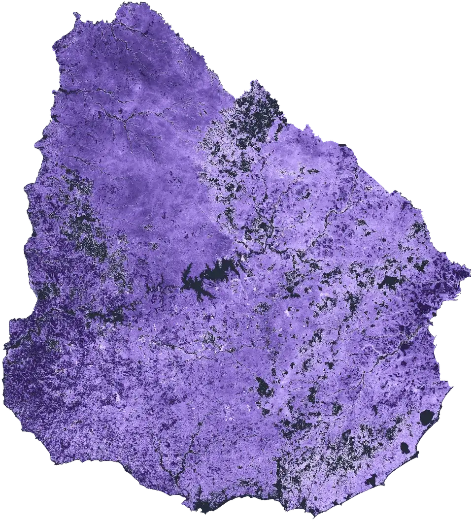
Natural grassland covers 58% of Uruguay; in 1985 it covered 71%. It supports livestock and much of the country's water and biodiversity.

MapBiomas Pampa, 2021

Chapter 2 of 9

Measured on the ground

Research teams clip and weigh the grass, record the species and georeference every site. Those measurements calibrate and validate the models.

Chapter 3 of 9

Published, peer-reviewed science

The platform's models are published in peer-reviewed journals, from radiation use efficiency to the ecosystem services index.

Chapter 4 of 9

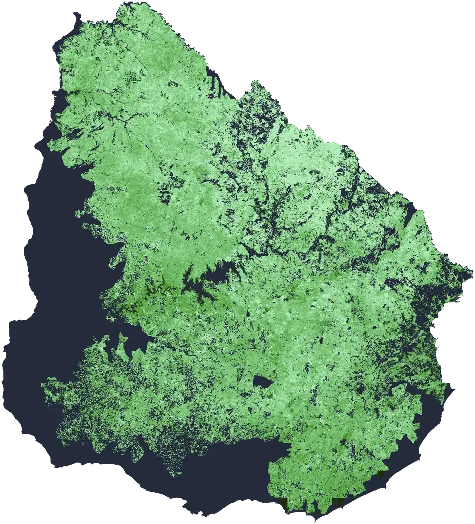
The country, seen from space

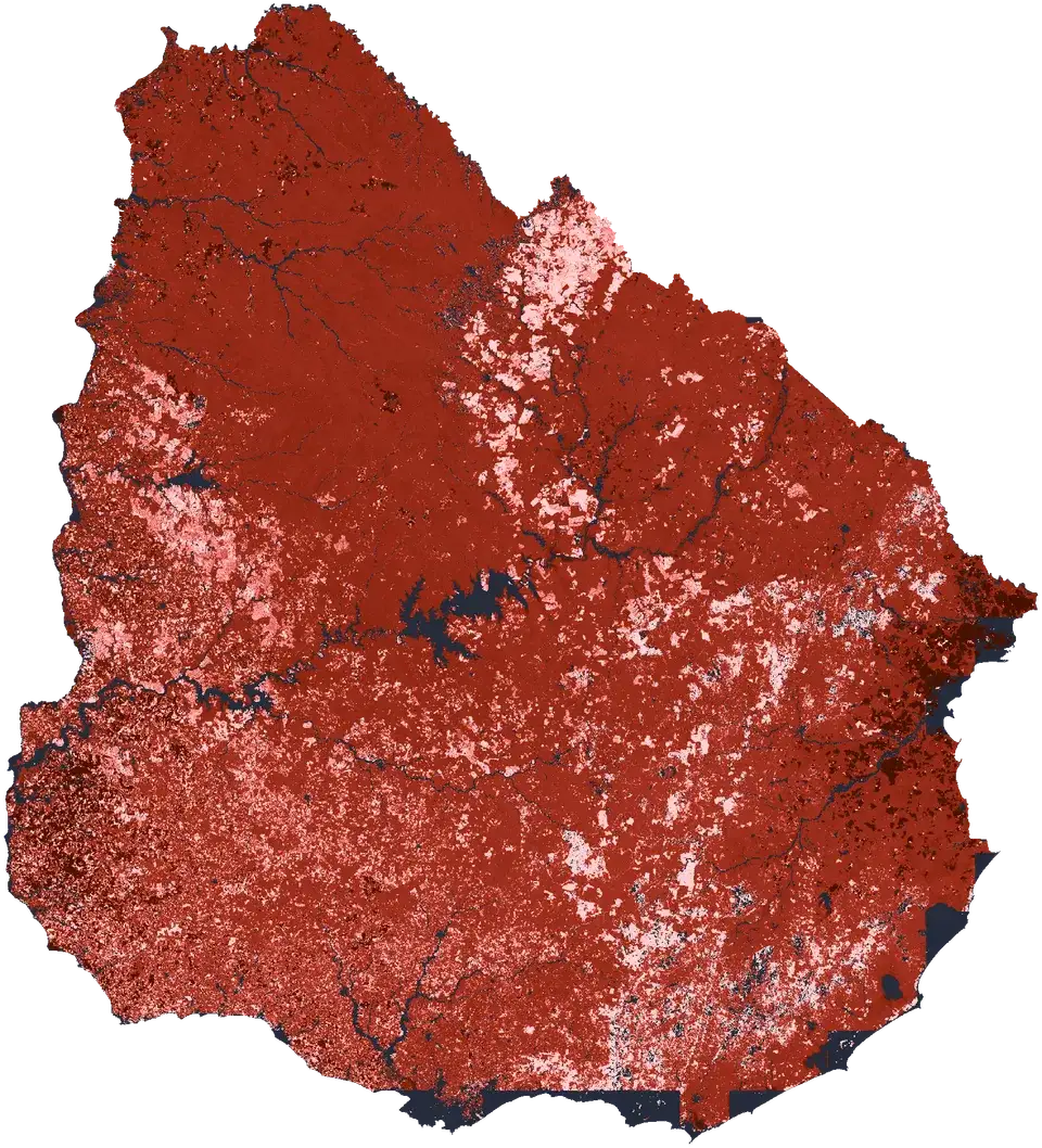
The MODIS sensor, on board NASA satellites, observes Uruguay every day. Every 16 days a cloud-free image is composed, with 231 m pixels.
Chapter 5 of 9

25 years of images, processed in Google Earth Engine

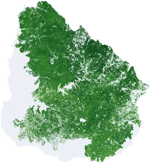
Every pixel goes through the models: the radiation the vegetation absorbs, times how efficiently it turns it into grass. The result is a series since 2001.

Chapter 6 of 9

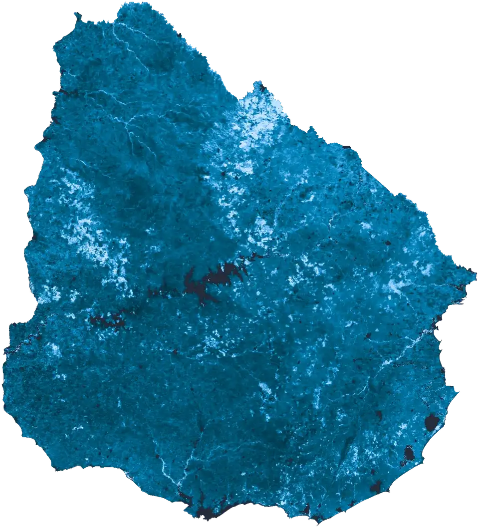
Ten indicators of how the land works

Productivity, water, soil, ecosystem services and human impact. Pick one to see it on the map.
Chapter 7 of 9

For the area you care about

More than 100,000 rural parcels, 279 police districts, basins at five levels and the areas you draw or upload.

Chapter 8 of 9

To decide with data

With the same information, a farmer can adjust stocking, a technical team can plan and a public agency can evaluate its policies.

Chapter 9 of 9

Open to other applications

A documented API so apps, dashboards, notebooks and AI agents work on the same data, with its version and citation.